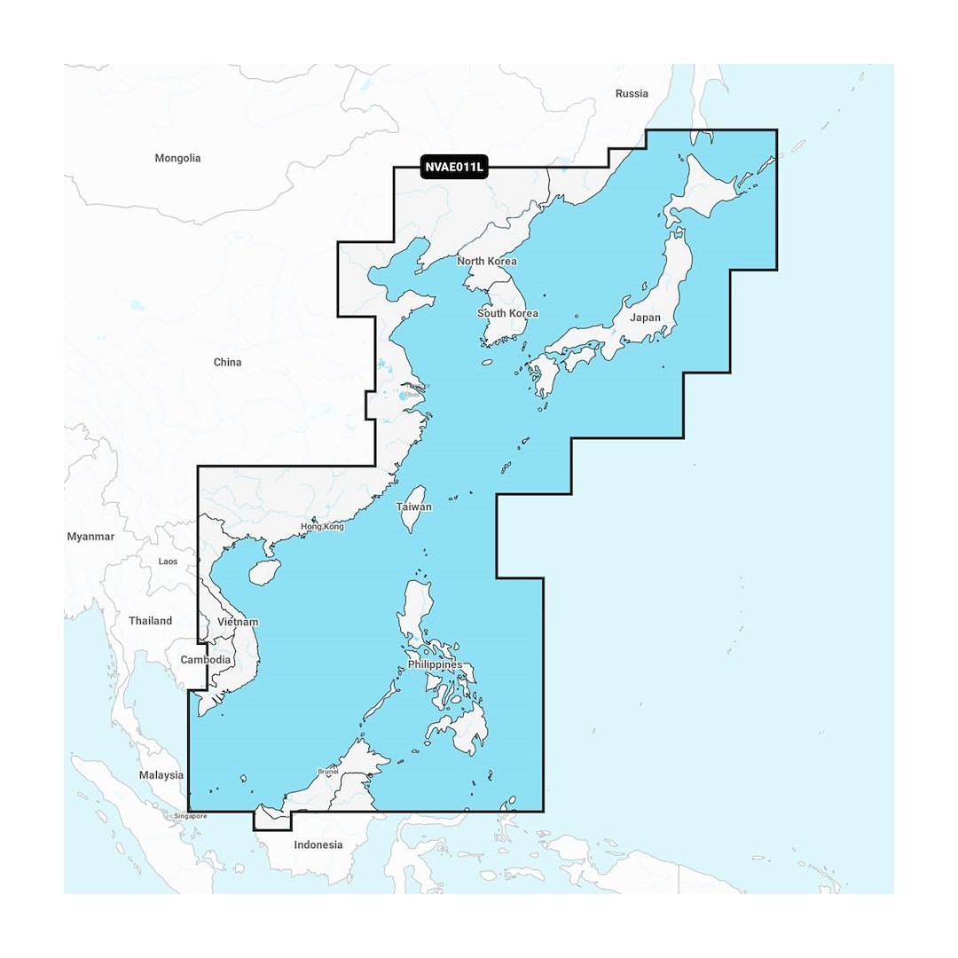
CHINA SEA & JAPAN GARMIN NAVIONICS
Part # 010C121400 SKU GCM010C121400
Highlights
- Installation
- Plug-and-Play Card
- Region coverage
- China Sea & Japan (East Asia waters)
- Type
- Marine Navigation Chart
- Format
- microSD / SD Card
- Coverage type
- Coastal & Inland Waters
- Update method
- ActiveCaptain App
- Model
- NVAE011L China Sea & Japan
- Application
- Marine GPS Navigation / Fishing / Boating
- Map type
- Coastal Marine Chart
Description
CHINA SEA & JAPAN GARMIN NAVIONICS
The CHINA SEA & JAPAN GARMIN NAVIONICS is a premium marine navigation solution designed specifically for marine enthusiasts venturing into Asian waters. This product integrates with compatible Garmin devices to provide comprehensive mapping capabilities that enhance navigation and safety on the water. With detailed cartographic data, users can experience upgraded precision in their voyages, allowing for a more informed travel experience in busy maritime regions.
This advanced navigation software combines high-resolution charts with essential navigational data including waypoint management, routing functionalities, and real-time updates. Users can benefit from precise navigation instructions that help navigate intricate coastal regions while avoiding potential hazards. Its user-friendly interface allows for easy access to features, ensuring that even less experienced mariners can utilize its extensive offerings effectively.
The software is regularly updated to include the latest navigational information and conditions, ensuring that users have access to the most accurate data. Additionally, the chart features customizable settings that allow for personalized navigation experiences, providing options to display depth contours, chart elements, and local points of interest that are most relevant to the user's boating activities.
FITMENT:
This product is specifically designed for compatibility with Garmin GPS devices that support Navionics chart content. Users are advised to verify compatibility with their specific device model prior to purchase to ensure optimal performance and functionality.
Key Features & Benefits
- High-resolution mapping tailored for the China Sea and Japan regions
- Real-time navigation updates for enhanced safety and decision-making
- Comprehensive data on navigational hazards, depths, and coastal features
- User-friendly interface for easy access and navigation
- Customizable chart settings for a personalized navigation experience
- Waypoint management and routing functionalities for improved travel planning
- Regular updates to ensure the latest navigational information is available
Vehicle fitment
| Make | Model | Submodel | Years |
|---|
No vehicle matches that filter.
Fitment data from the manufacturer catalogue. Check your engine before ordering, or call us.
Specifications
| Identification | |
|---|---|
| Brand | GARMIN CARTO |
| Part number | 010C121400 |
| SKU | GCM010C121400 |
| UPC | 753759289881 |
| Dimensions and weight | |
| Material and finish | |
| Series and warranty | |
| Series | Navionics+ |
| Details | |
| Installation | Plug-and-Play Card |
| Region coverage | China Sea & Japan (East Asia waters) |
| Type | Marine Navigation Chart |
| Format | microSD / SD Card |
| Coverage type | Coastal & Inland Waters |
| Update method | ActiveCaptain App |
| Model | NVAE011L China Sea & Japan |
| Application | Marine GPS Navigation / Fishing / Boating |
| Map type | Coastal Marine Chart |
Shipping and returns
Shipping. Free on every order, US only. Orders arrive in 2–4 days.
Returns. 60-day free returns, except in extreme cases.
Support. Our team is available 24/7 for fitment mismatches or any other reason.
Warranty. Full manufacturer guarantee.
Not sure about this part? Ask us.
Fitment, install, what else you need for the job. A parts person answers, usually within one business day.
We answer by email. No account needed.
Questions and answers
No public questions on this part yet. Ask the first one.
Reviews
Write a reviewNo reviews on this part yet.